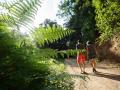
"Ponds for watering, shaded areas for rest and farmhouses that lived from the activity of the herds"
Distància:
6.00 km
Durada:
2h30
Dificultat:
Low difficulty
Desnivell:
160 m
Low difficulty
-
Circular path, bicycle path
- The layout is suitable for all levels, no difficulty
- You can download the track tracks on the Visitor Center website
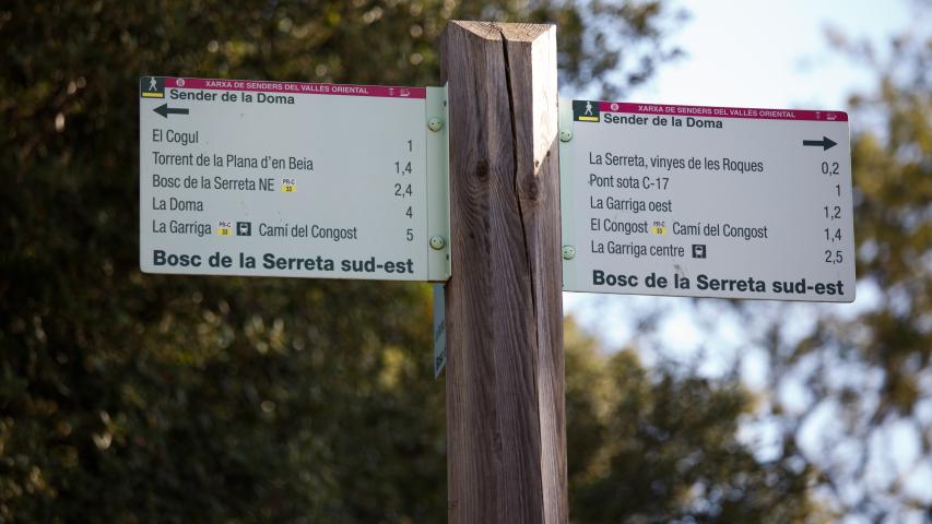
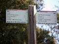
- Local trails starts at the Visitor Center
- Yellow painted markings and vertical signage at intersections will indicate that you are on the right path.
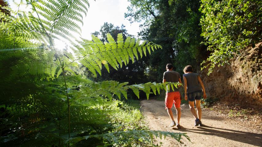
- Wear comfortable walking shoes
- Remember to hydrate and protect yourself from the sun
- It is recommended to bring water and some refreshments
Ruta virtual
Route with map
Documents adjunts
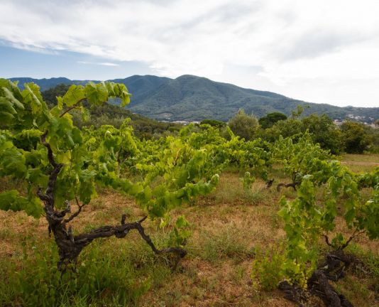
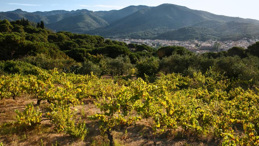
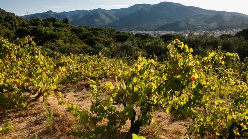
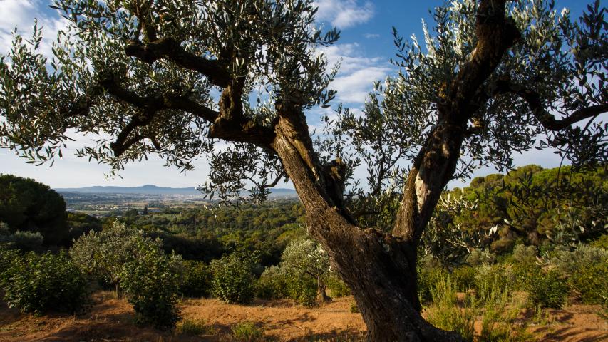
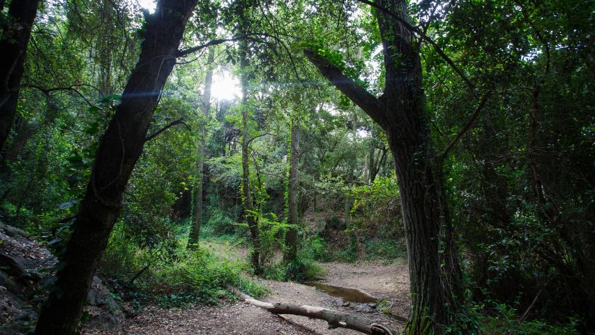
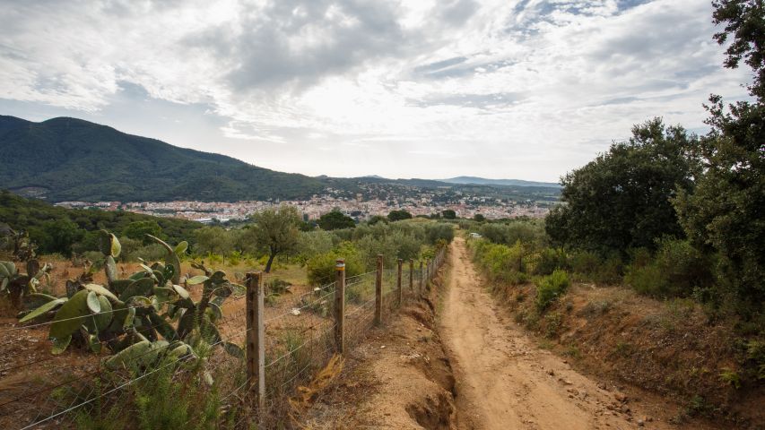
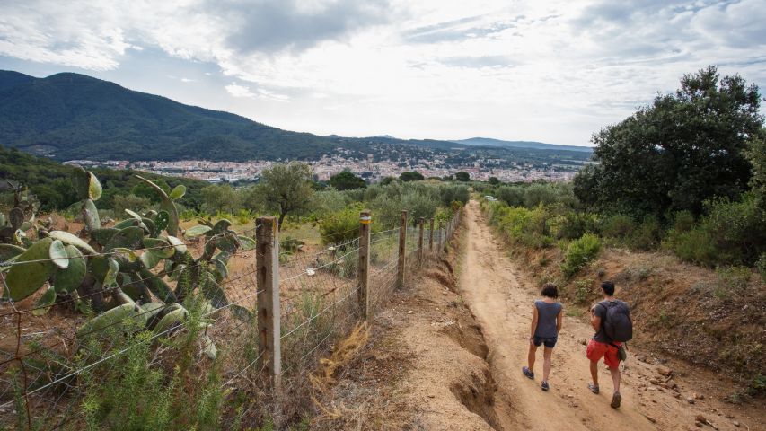
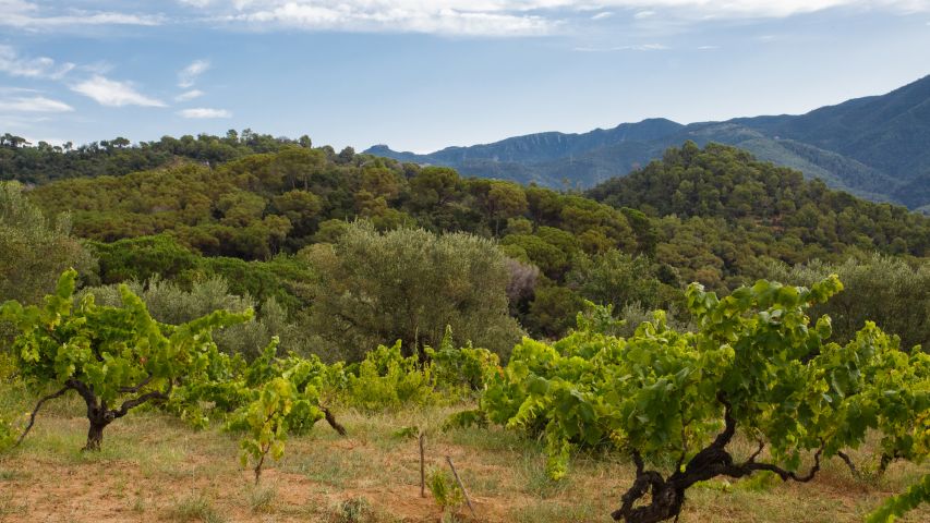
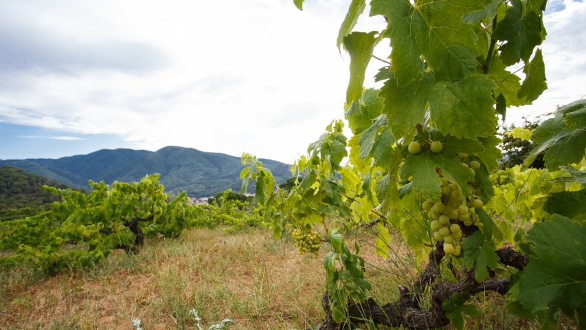
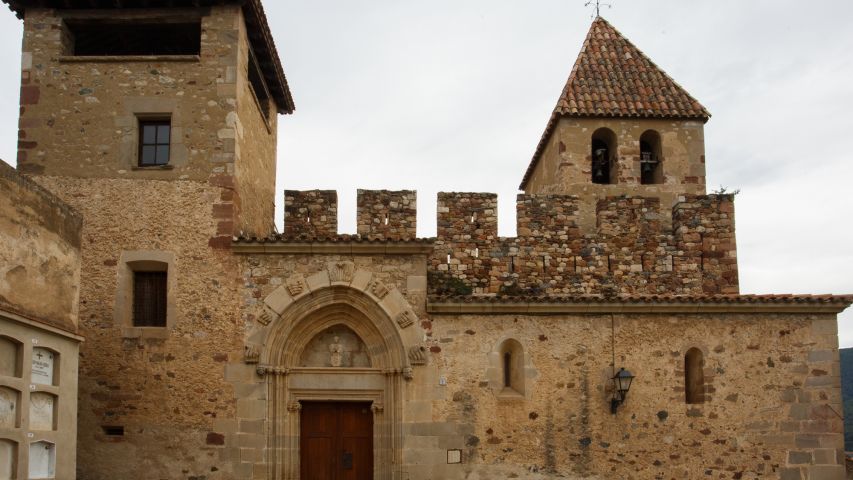
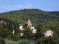
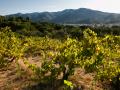
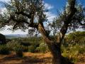
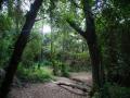
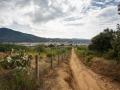
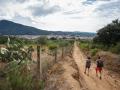
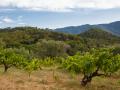
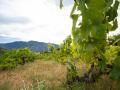
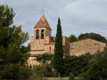
The trail follows the ridge that encloses the village on the western side. It is known as the Serreta, probably because of its modest height. It goes down to the Planell valley and returns through an area called les Roques, an area of vineyards with olive trees and hazelnut trees that is a sample of what a large part of the Garriguen slopes were like before industrialization.
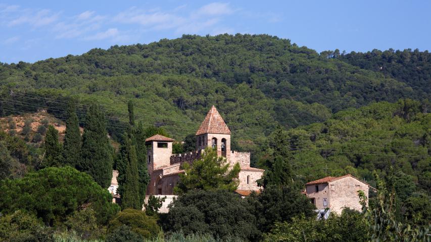
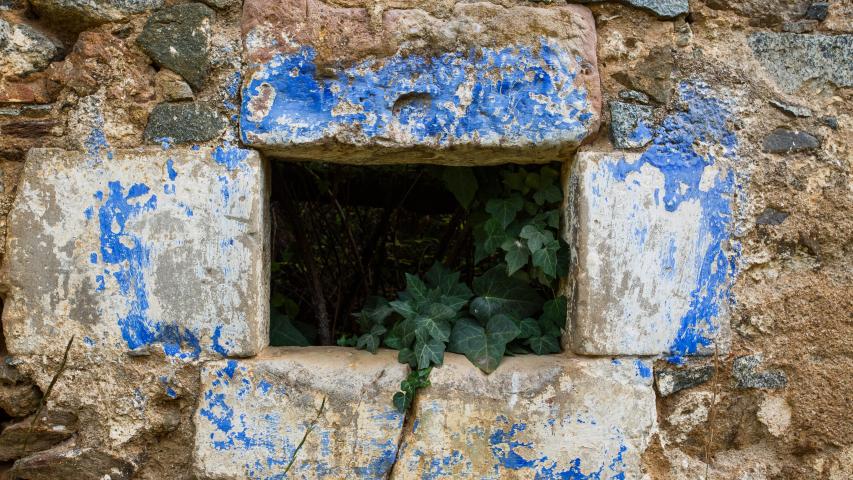
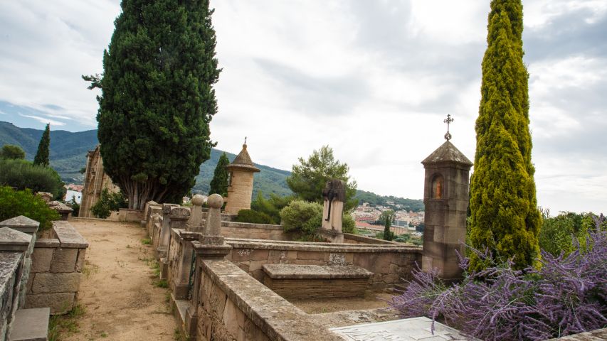
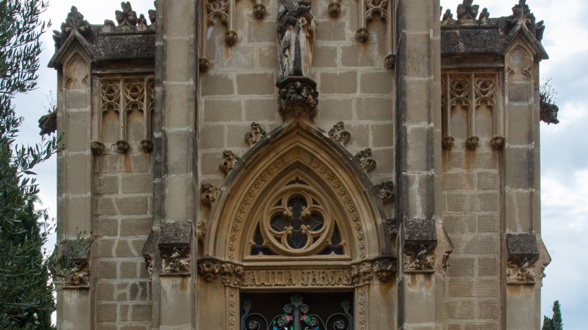
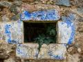
The various farmhouses that populated the western side have gradually been abandoned and, today, their walls remain as mute witnesses of other times.
You will return to the Garriga with unbeatable views of the town.
During your visit, observe nature and enjoy the surroundings, without leaving your waste footprint.


Compartir: