Bike path in Congost
Distància:
70.00 km
Dificultat:
Medium
Medium difficulty
Route with map

From La Garriga you can reach the mouth of Besòs, on the beach, in a total difference of just over 200 metres.

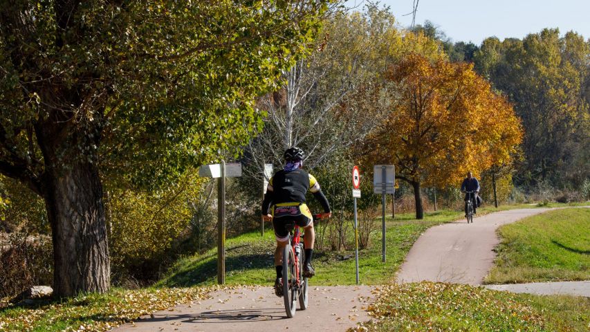
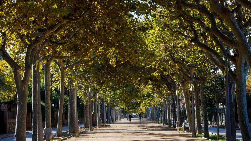
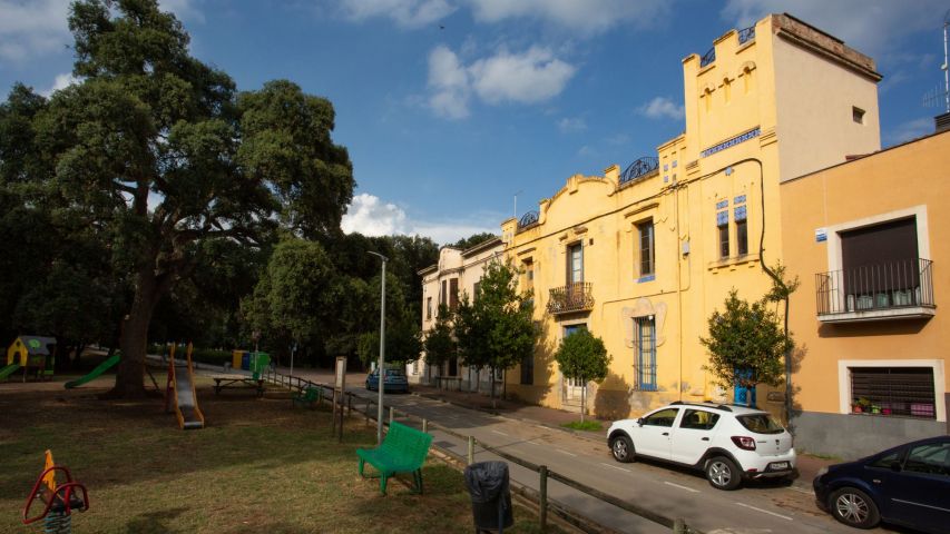
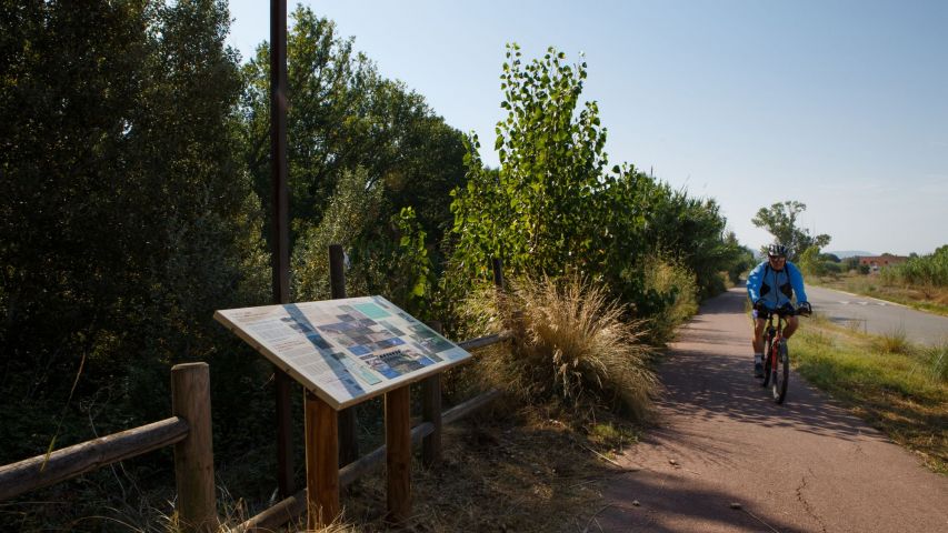
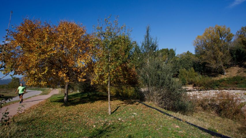
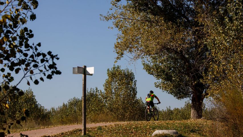
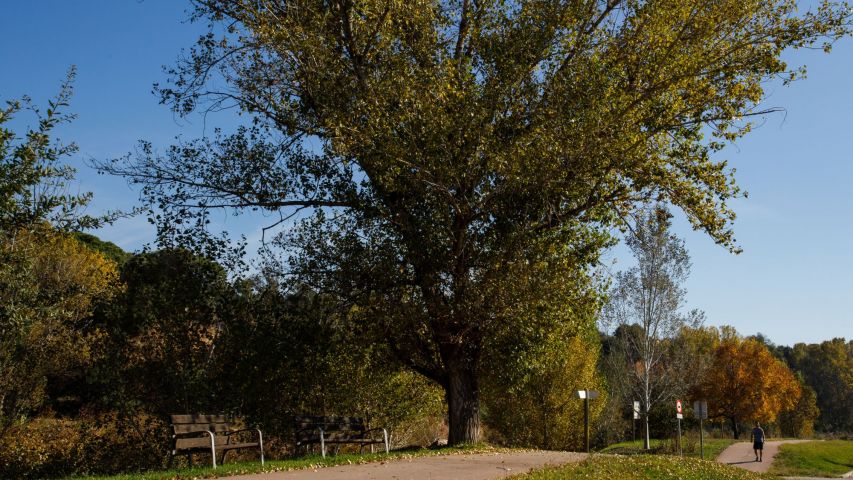
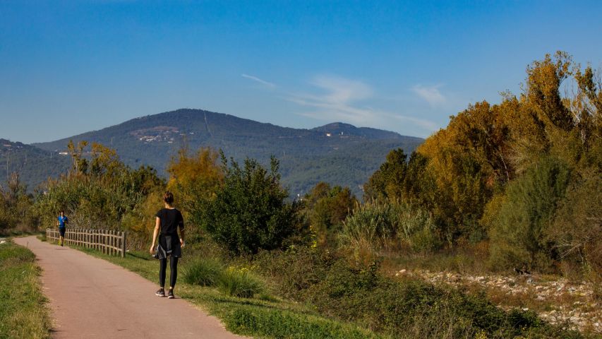
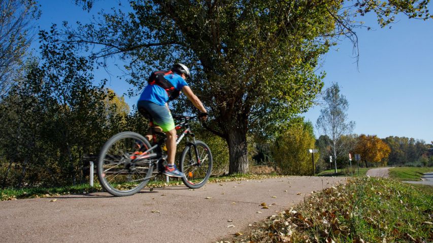
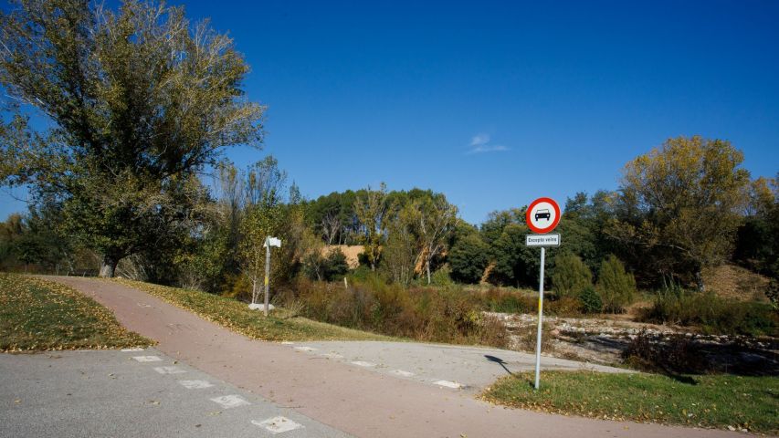
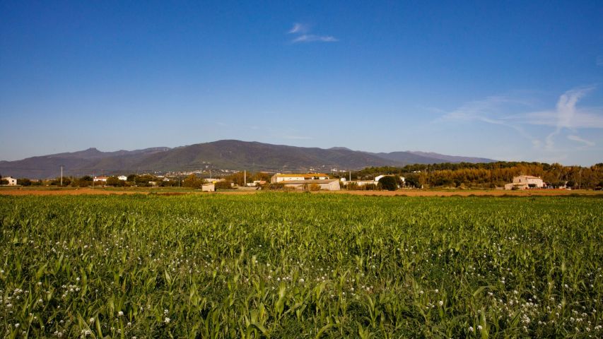
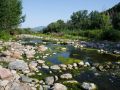
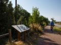
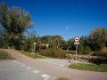
It descends comfortably along the river. As you descend, the landscape becomes more urban and industrial. The path has no discontinuity, different tracks are combined.

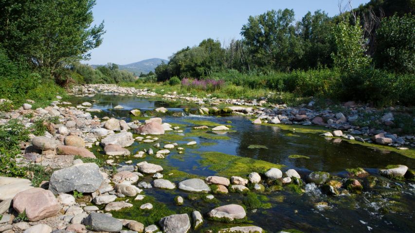
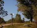
Between Montmeló and Mollet de Vallès, Congost joins the Mogent, which descends from the east to form the Besòs river. We will cross it to go to its left bank.

From here we only have to go down a 70 meter gradient to find the Besòs River Park to reach Sant Adrià beach.

Ciclista per carril bici
Passeig
Passeig
Plaça Narcisa Freixas
Riu congost
Riu congost
Panell informatiu
Panell informatiu
Paisatge del congost
Cartell informatiu camí del riu
Carril bici
Carril bici
Camí de bici i paisatge de muntanya al fons
Bici de BTT i carril bici
camí de bici
camí de bici
paisatge del congost
Ciclista per carril bici
Passeig
Plaça Narcisa Freixas
Riu congost
Panell informatiu
Paisatge del congost
Cartell informatiu camí del riu
Carril bici
Camí de bici i paisatge de muntanya al fons
Bici de BTT i carril bici
camí de bici
paisatge del congost